Monitor Crops. Optimize Yield. Reduce Waste.

Precision Agriculture

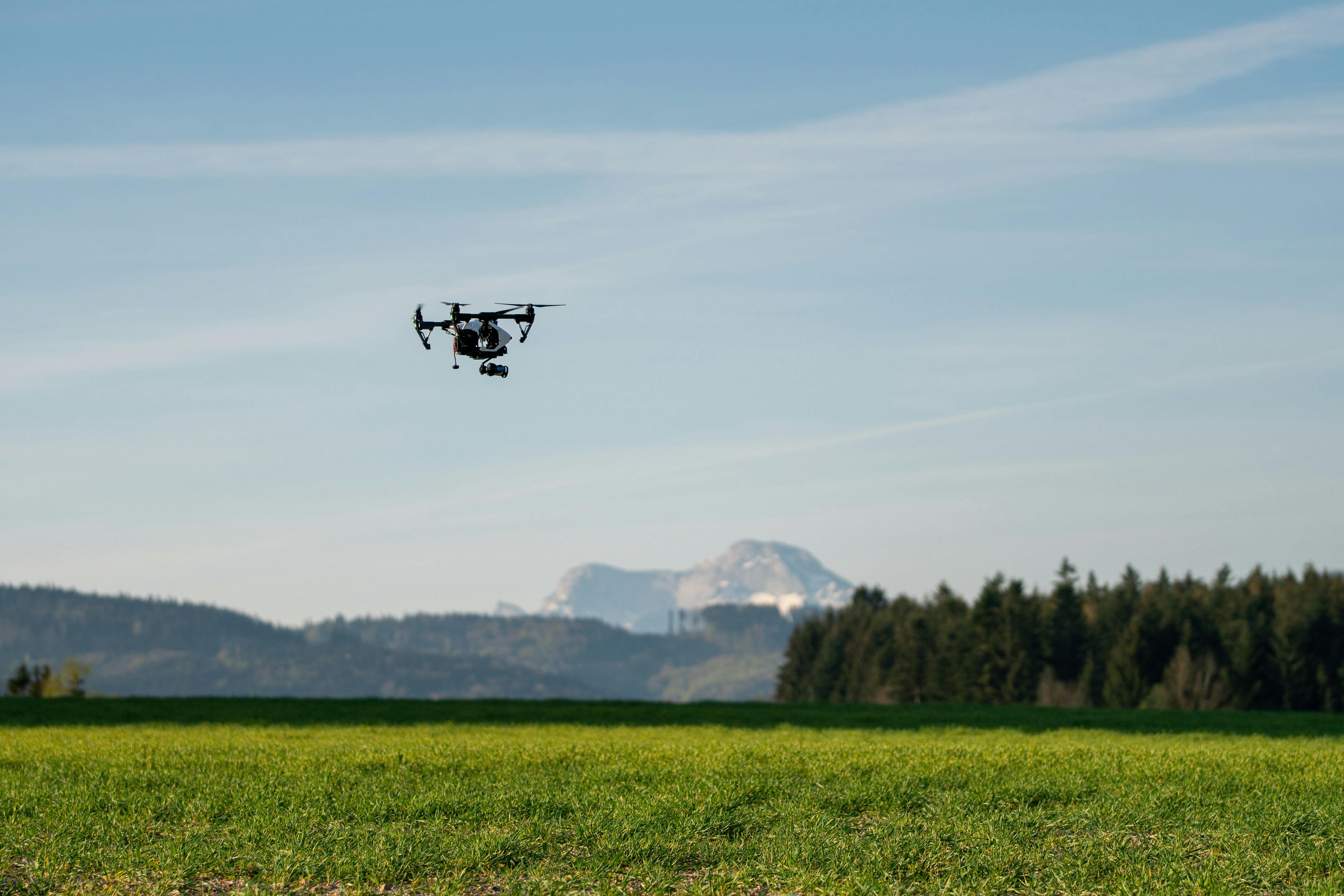
We at FPDynamics help farmers, cooperatives, and agri-engineers make smarter decisions from the sky. Our drone-based imaging and AI analysis deliver real-time insights on crop health, irrigation efficiency, and land conditions — maximizing productivity while minimizing inputs.

Smarter Farm Management from Above

Crop Health Mapping

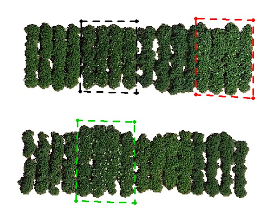
Capture high-resolution orthomosaics and NDVI maps with ±2 cm accuracy to detect stress, disease, or nutrient deficiencies before they spread.

Irrigation & Drainage Analysis

Identify dry zones, leaks, or over-irrigated areas using multispectral and thermal imaging. Improve water management and reduce waste.

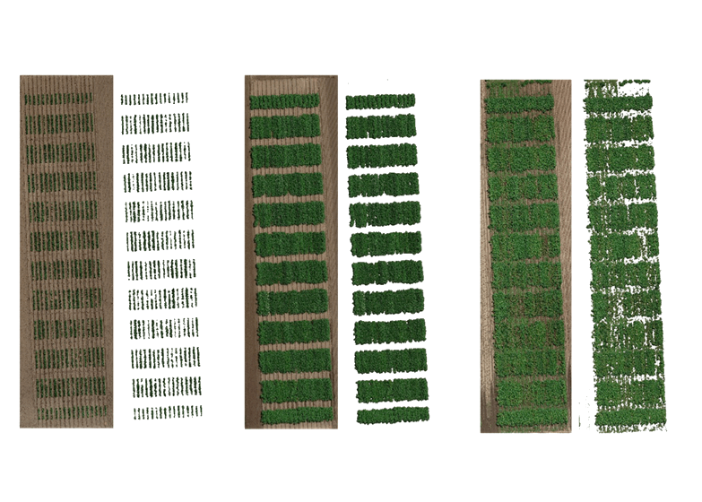
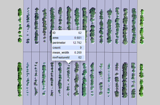
Plant Counting & Yield Estimation

Create precise visual records of structures and surfaces for verification, handover, or dispute resolution.

Field Progress & Change Tracking

Compare multi-date scans to monitor growth stages, assess replanting success, or measure the impact of treatment applications.

Smarter Site Management from Above

Site Survey

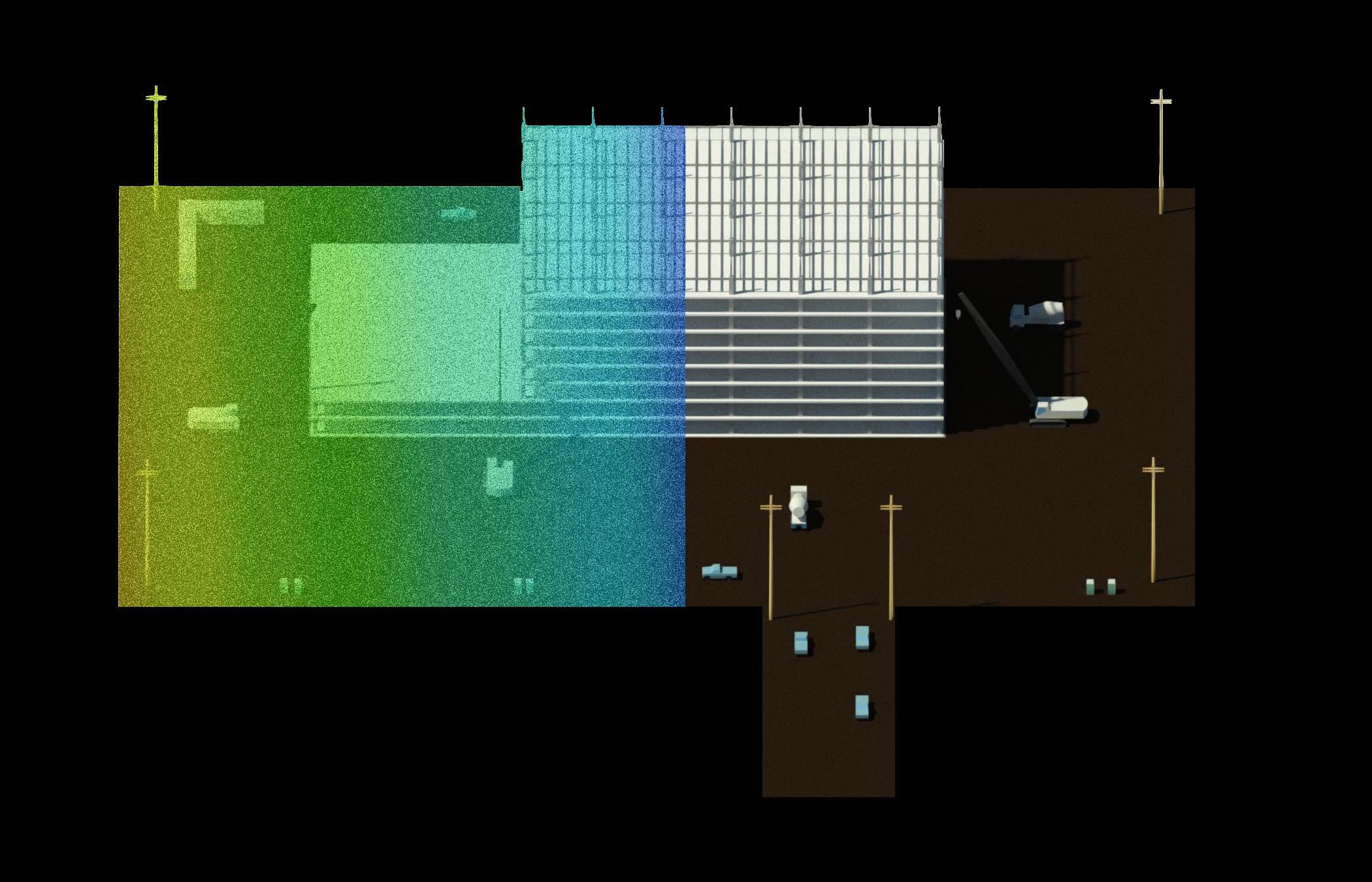
Capture high-resolution orthomosaics and generate 2D/3D maps with ±2 cm accuracy.

Progress Monitoring

Track construction stages over time with repeatable drone flights.

As-Built Documentation

Create precise visual records of structures and surfaces for verification, handover, or dispute resolution.

Safety & Compliance Checks

Use AI to detect missing PPE, perimeter breaches, or equipment zones.

Explore our services

Features

BIM (Building Information Modeling)

Turn the built environment into intelligent, data-rich building models. Our BIM services capture, model, and deliver highly accurate as-built information to support design, construction, and facility management.
  • Accurate As-Built Data: Transform drone scans into precise, detailed BIM models for reliable project planning and verification.
  • Streamlined Communication: Give all stakeholders access to a single, up-to-date model to reduce misunderstandings.
  • Lifecycle Asset Management: Embed material, equipment, and maintenance data for long-term building operation.
  • Improved Quality Control: Detect deviations between design and actual site conditions before they cause costly issues.
  • As-Built Documentation: Create models that reflect exact field conditions for record-keeping and compliance.
Features

🗺️ Orthomosaics & NDVI Mapping

We create high-resolution orthomaps and vegetation index models to assess field uniformity and plant vigor. A single drone flight covers hundreds of hectares in minutes.
  • Identify crop stress with NDVI data
  • Measure areas for precision spraying
  • Improve farm planning with visual insights
Features

🌿 Crop Growth Cycle Monitoring

Track crop development across the entire season with drone-based imaging and AI analytics. Our time-series data allows you to visualize growth patterns, detect anomalies early, and optimize interventions for higher yields.
  • Monitor crop stages from planting to harvest
  • Detect growth delays or uneven development
  • Compare field performance across seasons
Features

🌄 Inventory & Crop Volume Measurement

Quantify biomass, silage, or stockpile volumes with centimeter-level accuracy. Reduce manual effort and improve reporting accuracy.
  • Measure silos or grain piles safely
  • Track feed and storage levels
  • Optimize logistics and forecasting
Features

📦 AI-Driven Field Insights

Harness advanced AI to monitor crop health and field conditions in real time. Optimize yield, detect early signs of stress, and make informed decisions without the need for manual inspections.
  • Identify stress, weeds, or pests early
  • Track seasonal growth and trends
  • Generate automated field health reports

Get a Custom Quote for Your Next Project

Aerial mapping, inspections, and AI insights
Precision drone data, AI-powered insights, and faster decision-making.
All in one streamlined solution.